About
The success of industry’s move towards digital engineering is dependent on good data and actionable insights; and that’s where Diospatial is making a difference.
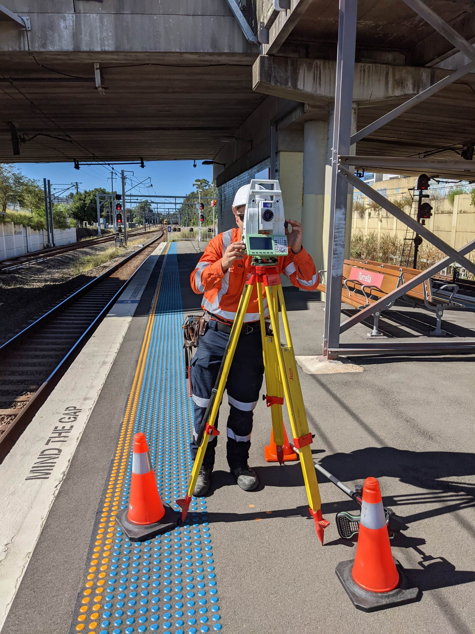
Diospatial is a team of engineers and surveyors, focusing our efforts on finding new and innovative ways to capture, process and present spatial and visual data for Australia’s large-scale asset owners, operators and AEC professionals.
“The more assumptions that can be replaced with facts, the less uncertainty and risk that remains for all stakeholders… “
Zack Wasson, CEO and Founder
We provide the most effective and compelling spatial data solutions for the built and natural environments. We help to replace assumptions with facts – reducing risks across all stages of the asset lifecycle.
With industry leading capability and experience in drone LiDAR, photogrammetry, and laser scanning, you can rest assured that we follow a solutions driven approach to developing our methodologies.
PROVIDING THE MOST EFFECTIVE AND COMPELLING SPATIAL SOLUTIONS FOR THE BUILT AND NATURAL ENVIRONMENTS
OUR VISION
Our Vision is to be the preferred reality capture partner to the AEC industry. By providing the most effective digital spatial solutions, our clients are able to focus their efforts on leveraging digital engineering to maximise the value of their expertise.
OUR PURPOSE
Our Purpose is to replace assumptions with facts. By providing our clients with better data we reduce uncertainty so that our clients can make more informed decisions.
OUR MISSION
Our Mission is to provide the most effective LiDAR, photogrammetry and laser scanning services to the architecture, engineering and construction industry.

the dioSPATIAL difference
We are committed to 100% client satisfaction: we’re not just about meeting expectations, we’re about smashing them out of the park.
Our team consistently delivers the best quality data in the industry through superior
resolution, level of detail and accuracy. Be it LiDAR survey of a rail corridor, laser scanning of a building or defect mapping of a spillway – our superior quality replaces assumptions with facts.
We work collaboratively with your team to understand your objectives and develop a fit for purpose solution. Our support continues beyond submission of deliverables to ensure your team is successful.


our story
After establishing a career in civil engineering and geotechnics industry, our founder, Zack Wasson, recognised there was a major deficiency in the quality of information available to engineers when assessing and designing infrastructure. The data available to the industry was:
- Low quality because of manual collection in hazardous terrain
- Missing important details because the surveyor was only collecting data they could see was important
- Outdated when it reached because of the time taken to capture, record and analyse it
- Expensive due to the measures needed to capture the data safely
With a deep seeded passion for new technologies and innovation, the use of drone technology combined with photogrammetry showed real potential to improve the engineering work-flow.
In 2015, Diodrone was founded on a vision to innovate infrastructure through unmanned aerial solutions – or drones. We quickly realized the real value that helped engineers in the AEC sector was in the data the drone was capturing.
Although drones are an important part of our heritage and continue to be a key component of our spatial solutions, it became apparent that we had outgrown our name. Diodrone had become more than just a drone company. No longer is our value proposition centered on the value of drones, but the value of spatial data to reduce uncertainty and replace assumptions with facts.
In 2021, having built a strong reputations for delivering reliable, accessible and actionable spatial data to continue to support the AEC sector’s advancement into the digital engineering era, Diodrone was rebranded to Diospatial.
Our solutions have been implemented and trusted on some of Australia’s most critical infrastructure assets and by the country’s leading engineering firms. We have conducted the first drone operations Sydney Trains, closely followed by some of the first drone operations for Roads and Maritime Services (now TfNSW), Queensland Rail, Transport and Main Roads, VicRoads, WaterNSW, Sydney Water, Metro Trains Melbourne, and more.
Our capabilities:
- Drone and Aerial LiDAR
- Photogrammetry
- Terrestrial Laser Scanning
- CAD and BIM
- Geospatial Analysis (vegetation encroachment, change detection, monitoring)
- Custom Digital Engineering Solutions
PAST PROJECTS
Spatial Source Leaders Forum: Interview with ou…
At the end of 2022 diospatial’s founder, Zack Wasson, was interviewed as…
Meet the D-Team Series: Kevin Gonzales
In our latest Meet the D-Team Series, we are welcoming Kevin Gonzales…
Important Announcement – We Have Changed …
THE EVOLUTION OF DIODRONE In 2015, Diodrone was founded on a vision…
Meet the D-Team Series: Joe Culliver
In our Meet the D-Team Series, we want you to get to…
